
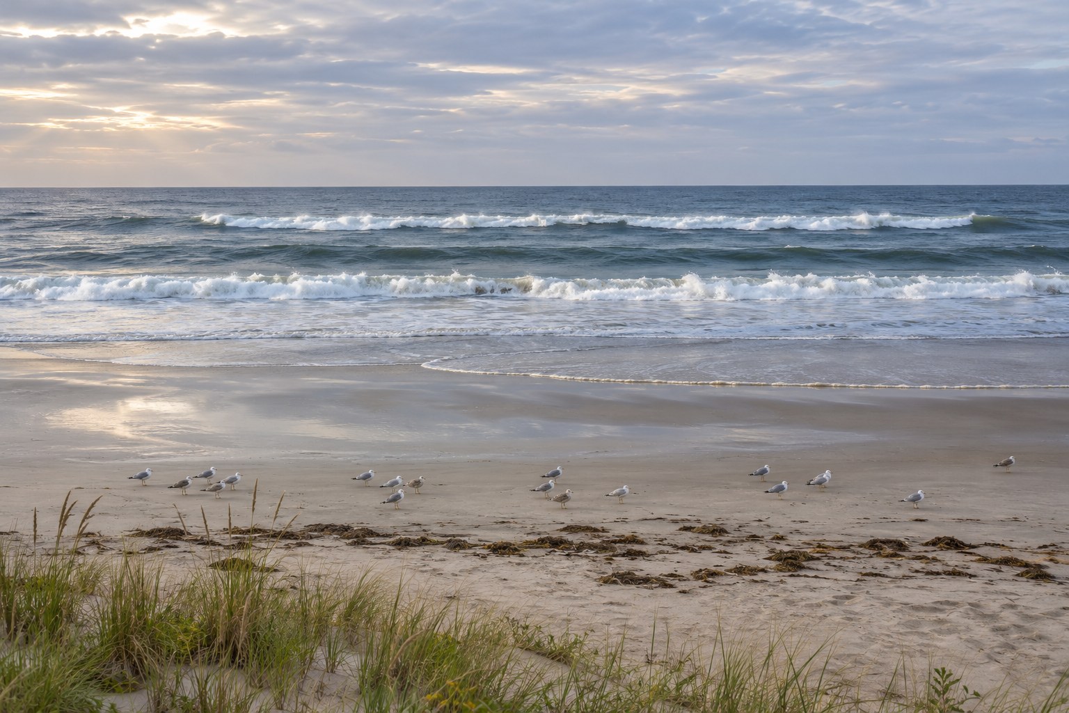
You walk onto an unfamiliar beach, pick a spot that looks as good as any other, and put a bait out as far as you can throw it. Two hours later you have nothing to show for it. Fifty yards down the beach, someone working a short cast into a strip of darker water is catching fish steadily.
That gap is not about gear or luck. It is about reading water — and reading water is a skill you can practice standing on dry sand with your rod still in the spike.
The ocean surface is a map of what the bottom is doing. Waves steepen and break where the water gets shallow. They roll through unbroken where it is deep. Where an offshore bar has a gap in it, the whitewater stops in that gap as if a door had been opened. Every one of those signals is visible from dry sand, and each one tells you where the bottom changes.
This is not a casting article. It is a walking-and-watching article. Once you can find the features, the distances and the rigs become obvious.
The Beach Has a Floor Plan
A beach is not a random slope of sand running into the ocean. It has repeating structures, and those structures appear in the same order almost everywhere you go.
From the dry sand outward:
- Berm. The flat, dry shelf where you set your chair. It builds up in calm weather and gets cut back by storms.
- Foreshore. The wet slope where the swash runs up and drains back. This is the part you feel underfoot as the first drop-off at low tide.
- First trough. Deeper water running parallel to the beach between the shoreline and the first bar. Anglers call it a gutter, a slough, or the first gut.
- Inner sandbar. A shallow ridge of sand. Waves steepen and break on top of it, which is exactly how you find it from shore.
- Outer trough. A second deeper band between the inner and outer bars.
- Outer bar. A larger offshore ridge, usually further out and often holding more water behind it.
- Open water. Beyond the last bar, the bottom drops away and the surf zone ends.
The width of the first trough is set by how far the bar sits offshore. On a steep, coarse-sand beach that distance might be short and the drop-off quick. On a long, gently sloping beach of fine packed sand the whole system can spread out over a hundred yards.
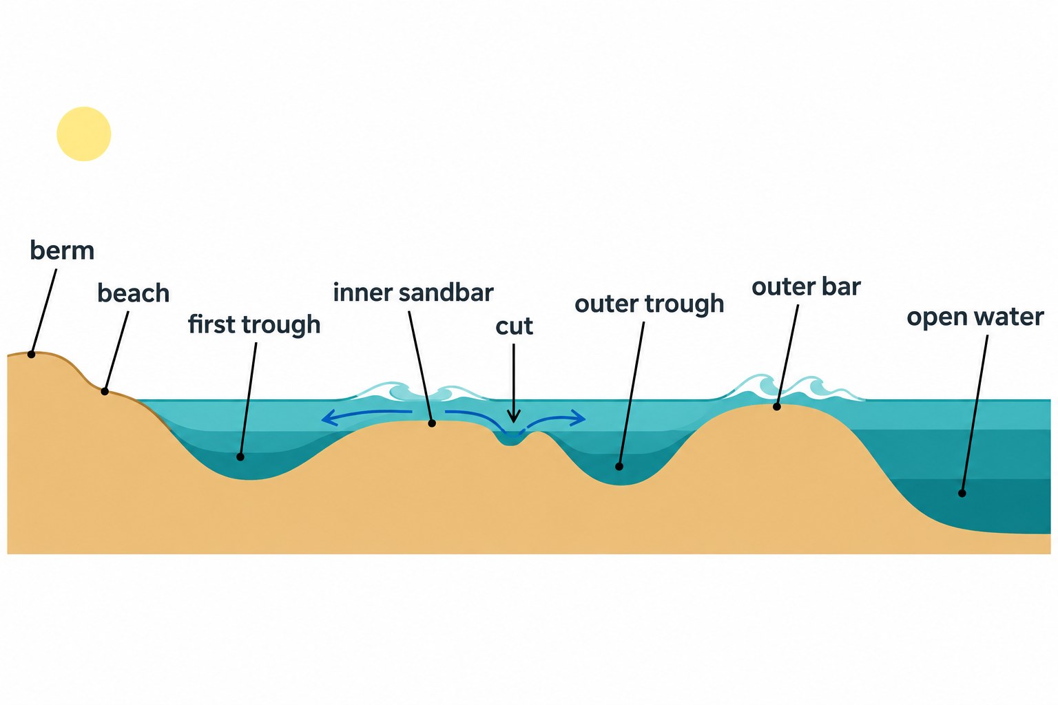
Two modifiers matter as much as the bands themselves. A cut is a low spot or narrow channel through a bar where water drains back out to sea. A hole is a scoured pocket, often close to the wash, that reads as an inward bend in the shoreline. Add a point where the beach or bar juts seaward, and hard structure like a jetty, groin, or pier, and you have the full vocabulary. That is the whole floor plan.
The Bar Is a Wall, the Cut Is the Door
Here is the idea that changes how you fish a beach.
A sandbar is a wall. It is shallow enough that most fish will not cross it casually, and it stands between the open ocean and the sheltered water of the trough. The trough itself is a good place to be a fish: deeper than the wash, calm enough to rest in, and close to the surf zone where food gets stirred up.
But how does a fish get in there in the first place?
Through the cut. Waves push water across the bar and into the trough. That water has to get back out, so it finds the lowest point in the bar and pours through it. Over time that flow scours the gap deeper. That is why cuts exist, and it is why a big storm with heavy surf tends to widen and deepen the ones already there.
So the cut is the doorway between the trough and the deeper water outside. Bait drifts in and out through it. Predators use it as a route. And that makes the shoulder of the trough right next to a cut the highest-value piece of real estate on most beaches, because it sits at the intersection of shelter, food, and access.
Before you commit to a gap in the whitewater, confirm it is really a cut and not a one-off. Watch several sets of waves. A true cut repeats: the waves miss that section again, and again, and again. A single missing breaker is just a wave being a wave.
One caution on all of this: beaches move. Bars migrate, cuts open and close, and a storm can rearrange your favorite spot overnight. The map is real, but you have to re-read it every trip.
Reading It From Dry Sand
Now the practical part. These cues are roughly ordered from most to least reliable.
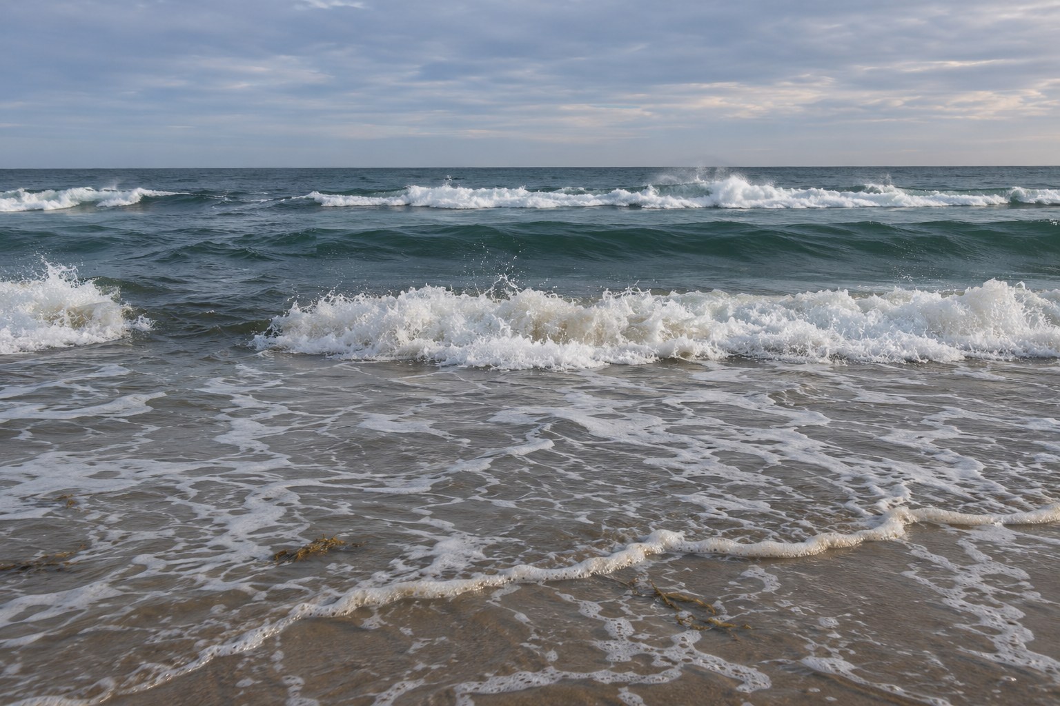
Start with wave behavior. This is the single best signal you have. Waves break in shallow water and roll through deep water, so the whitewater line is a depth contour. Where the line is continuous, the bar is continuous. Where the line stops, the water is deeper. A break in the line of breakers is either a cut or a hole worth casting into.
Look for color. Deeper water reads darker: brown, green, or blue-black, against the pale tan-green of shallow sand. The dark band running parallel to the shoreline is the gutter. Hard edges between light and dark are depth changes, and depth changes are edges fish hold on.
Check the surface texture. A trough often looks calmer than the surf around it — smooth, flattened, unbroken. A rip channel running through it can look the opposite, choppy and rippled in a narrow strip. Both are readable, and both are worth noting.
Follow the foam and the weed. Foam lines, scraps of seagrass, and floating weed collect along current seams. A line of foam moving steadily seaward marks outflow. That is a current edge, and current edges are where fish sit.
Read the shoreline shape. An inward bend in the beach often means a hole or an embayment scoured out by a persistent channel. Scalloped curves in the sand can mark where water has been draining out of the same spot for days.
Then look up. Pelicans and terns working one patch, birds diving, bait spraying, a dark school sliding along the beach — the fish may already be telling you where the feature is.
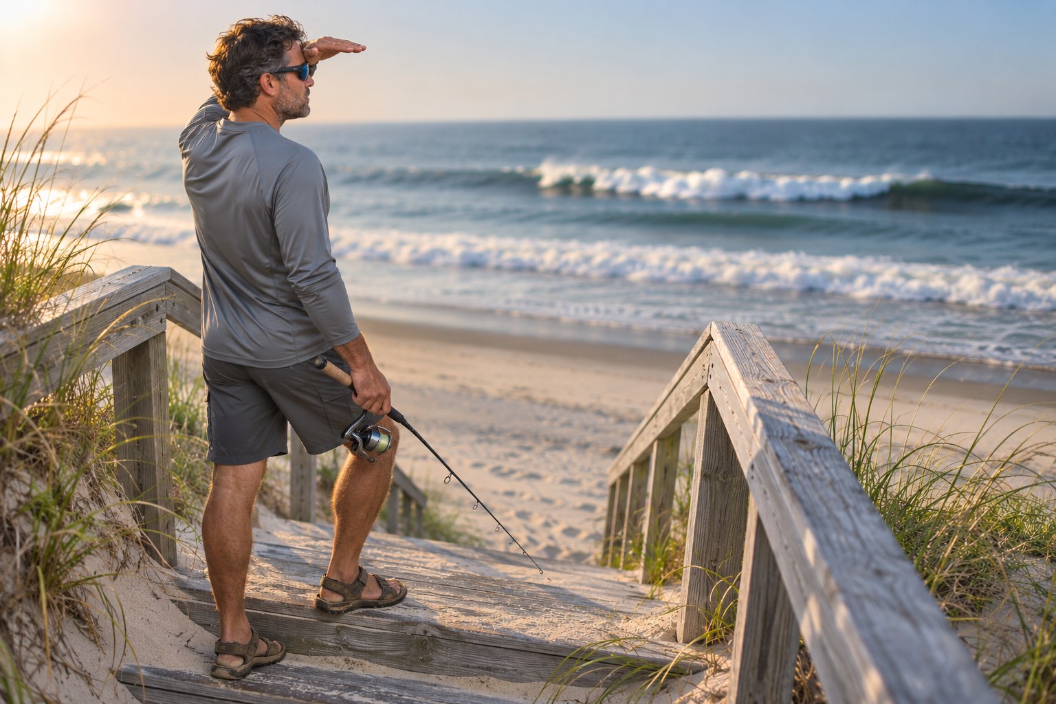
Two cheap tools multiply everything above. The first is elevation: get on a dune, a crossover stair, a pier, or the tailgate of a truck. Features that are invisible at eye level are obvious from ten feet up. The second is polarized lenses. They cut surface glare so depth changes show up as color changes instead of as a sheet of reflected sky.
Rip Currents: The Highway You Don’t Stand In
A rip current is the seaward return flow for water that has piled up in the surf zone. It forms at low spots and gaps in sandbars and beside jetties, groins, and piers, and channelized rips can persist in the same spot for days, weeks, or months.
That persistence is precisely why they hold fish. A rip that has been running for a week has been moving sand, bait, and dislodged prey offshore the whole time. Predators learn it. They stage on the edges waiting for whatever gets carried past.
The productive water is the seam, not the torrent. Fish the edge where the outflow meets the surrounding current, the slack water beside the plume, and the downcurrent side of the entrance. Standing in the middle of the fastest flow is both the least productive and the most dangerous choice on the beach.
Two facts worth correcting:
- Rip currents are not tides. They have nothing to do with the tide going out. A “rip tide” is a misnomer.
- Rip strength tracks water level, not tide direction. The common claim that rips are worst on a falling tide is not supported by the National Weather Service’s own rip current research. On beaches with a modest tide range, rips often run fastest within an hour or two of low tide and can shut down near high water.
And the safety line is not negotiable: do not wade into an active outflow to fish it. Rip speeds typically run a few feet per second and can reach well past what a strong swimmer can hold against, and they pulse — a set of larger waves can double the speed in under a minute. Fish the cut from the beach, from the bar, or from well to the side. If you ever get caught in one, float, swim parallel to the shore until the pull eases, then angle back in.
Tide, Wave Period, and Why the Map Redraws Itself
The beach you read at six in the morning is not quite the beach you fish at ten.
At low tide the bars are exposed or nearly so, the trough becomes a legible dark line, and you can see the whole structure. It is the best scouting stage there is. The catch is that the first trough may be too shallow at dead low to hold much, so treat low water as your survey and plan to fish the movement around it.
At high tide the picture inverts. The first trough may sit twenty to fifty feet offshore instead of a few feet, waves can roll over the outer bar without breaking, and fish push shallower — into the wash, onto the bar shoulders, and along the edges of structure. The feature did not disappear. It moved, and the fish moved with it.
In between, moving water generally beats slack water. The middle stages of a rising or falling tide tend to outproduce the dead top and bottom of the tide, because that is when current is transporting food. An incoming tide pushes bait into the troughs; an outgoing tide concentrates flow through the cuts.
Wave period changes how readable the whole thing is. A long-period ground swell arrives in clean, organized lines that break in obvious rows, and the bars practically draw themselves. Short-period wind chop breaks close together and mushes the lines into a mess, hiding the gaps. If the surf looks uniform and unreadable, check the period before you blame your eyes.
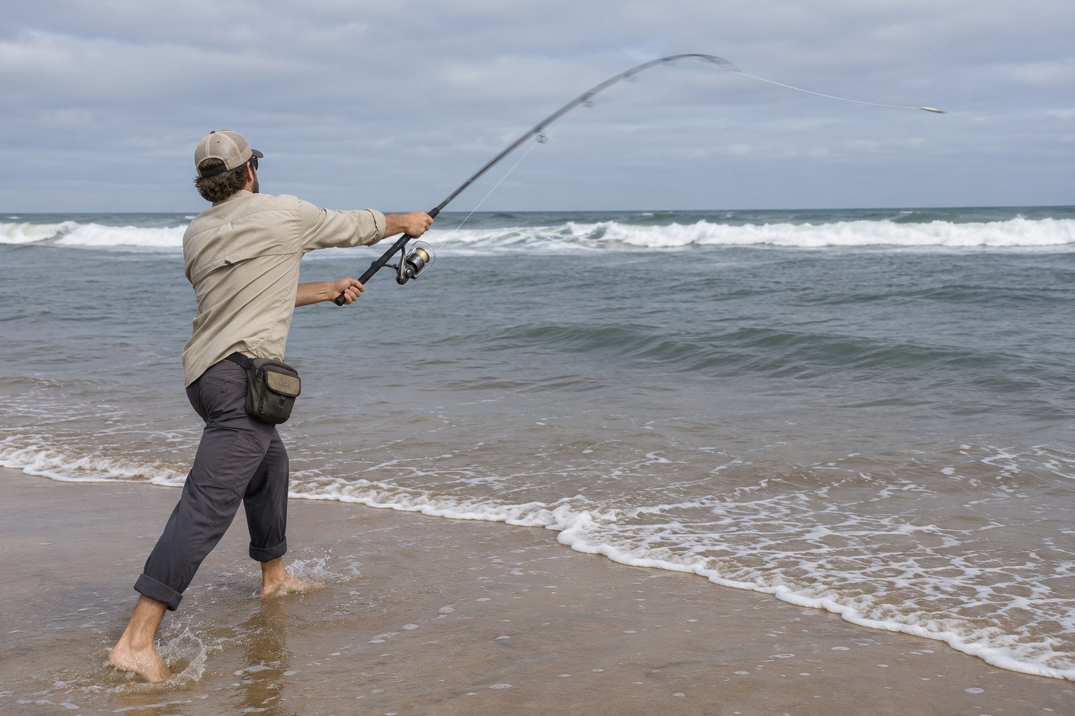
Finally, understand that the profile oscillates. Heavy weather flattens the beach and pushes sand offshore into bars; calm weather rebuilds the berm and marches the bars back toward shore. That means your spot’s map has a season, and it can change in a single blow.
Which Fish Use Which Zone
Once you know the zones, the tackle decisions follow. All of the following are tendencies, not rules — but they are consistent enough to plan around.
First trough and wash edge. Whiting and kingfish, croaker, smaller pompano, and flounder typically show up here, often close to the beach. Short casts, small hooks, shrimp pieces or sand fleas on a light bottom rig. The wash itself stirs sand fleas loose, and fish slide in behind them.
Trough center and shoulders. Pompano, whiting, croaker, and puppy drum. Bait the slope where shallow sand drops into the trough rather than the flat middle of it.
The cut and its throat. Red drum, bluefish, striped bass, Spanish mackerel, and flounder tend to stage on the seaward side or in the throat of a cut. Cut bait or mullet on a fish-finder rig for drum, or a metal when bait is being herded. If you only learn to fish one feature, learn this one.
Bar crest and the water just past it. Larger pompano in summer, bluefish, Spanish mackerel, and striped bass in the Mid-Atlantic surf. This is the one zone where a genuinely long cast is justified.
Beyond the outer bar. Migratory fish moving along the coast: Spanish and king mackerel, bluefish, jacks, cobia, and tarpon in the south. It is a different zone with different fish, not automatically better water.
Points, jetty edges, and inlet mouths. Structure-oriented fish — striped bass, red drum, snook, flounder, sheepshead, and black drum tight to hard cover. Fish the current edge and the slack side of the jetty, not the fastest water in the inlet.
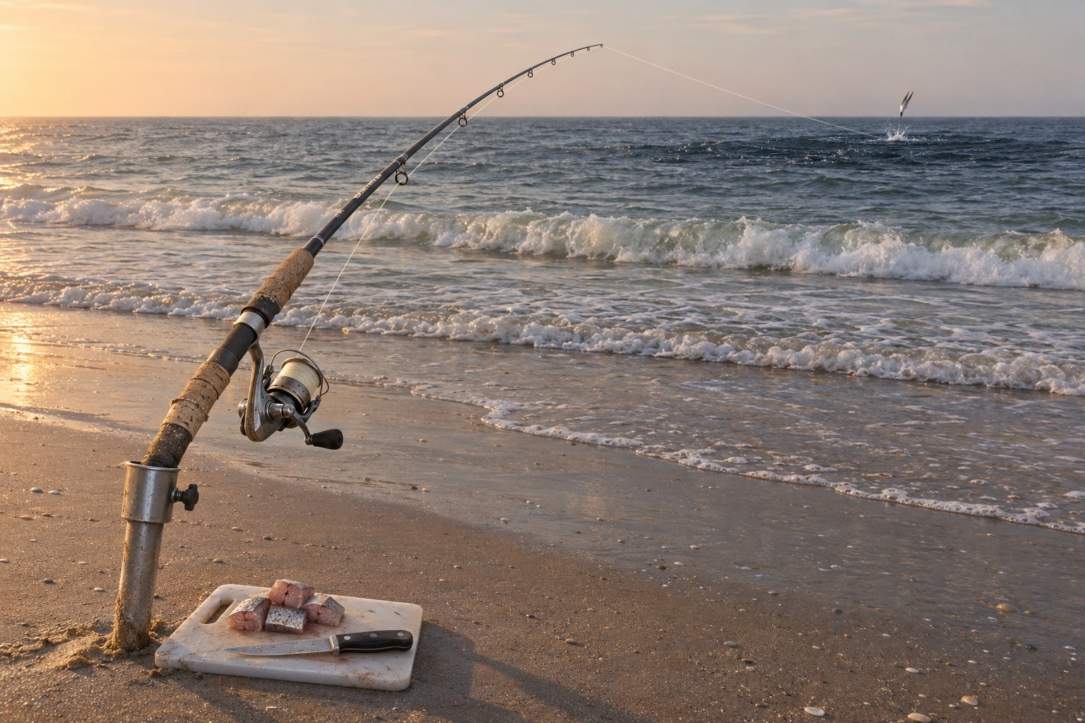
Wider, deeper sloughs with shallow shoal water at each end are where the bigger drum and striped bass tend to live on beaches that have them. Narrow, shallow gutters hold smaller fish. Size of water matters.
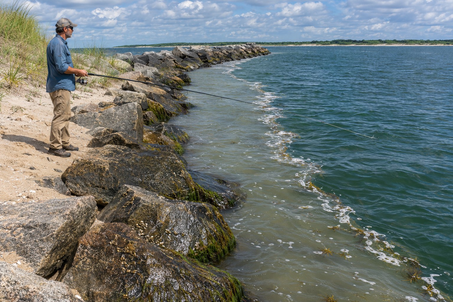
A Walk-the-Beach Routine That Decides Where You Cast
Reading a beach you have never fished is a ten-minute procedure, not a talent.
- Arrive early and get high. Dune line, crossover stairs, pier, or tailgate. Give your eyes ten minutes to adjust before you judge anything.
- Walk at least a hundred yards, scanning. Do not cast yet. You are looking for the departure from the pattern, not the pattern itself.
- Mark the whitewater lines. Where does the first line of breakers sit? Is it continuous? Every gap is either a cut or a hole worth investigating.
- Find the cut. Confirm it repeats across several sets, and note which side the outflow runs toward.
- Trace the color change. Follow the dark band parallel to shore. Find where it is widest, and where it pinches against a point or a shoal.
- Check the seams. Foam, weed, and the boundary between clean and dirty water mark current edges.
- Look up at the birds. If they are working one patch, believe them.
- Pick three distances, not one. Near trough, bar crest, past the bar. Let the fish tell you which one is the answer today.
- Plan the landing, not just the cast. Where will you beach a good fish, where will the wash push you, and where can you stand without turning your back on a set?
Beach reading also gets hijacked by a few persistent myths. Deeper is not automatically better, and neither is farther — a thirty-yard cast into a trough beats a hundred-yard cast into dead water. High tide is not always best; moving water is the variable that matters. And the productive part of a rip is its edge, which is also the part you can fish safely from shore.
The last thing worth knowing is that intermediate anglers do not out-read beginners by identifying more features. They out-read them by moving. If a spot does not produce in twenty minutes, walk a hundred yards and re-read the water. And whatever you figured out in the morning, re-check it after the tide turns — the map on your mental beach has changed, and the fish have already redrawn their positions on it.
If you want to sort out the bottom rigs that go with each zone, start with these saltwater bottom rigs for pier and surf fishing and pair them with how to read a tide chart before you fish the surf. If you are still assembling the outfit itself, our guide to surf fishing gear and techniques for beginners covers the setup side.