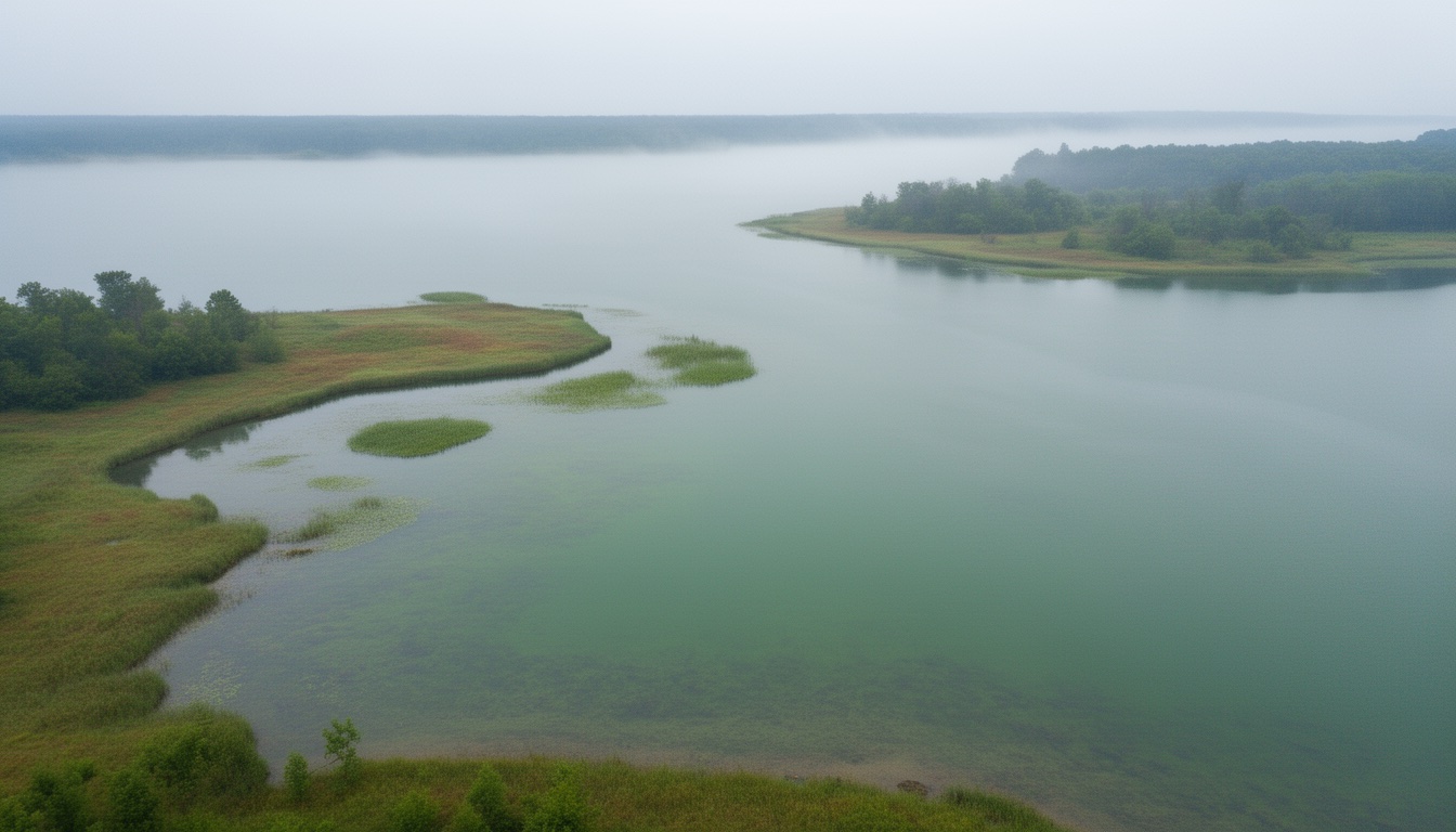
You’ve got your rod, your line, and a lake in front of you. Where do you cast? Standing on the bank staring at hundreds of acres of open water, most beginners do what feels natural: pick the prettiest-looking spot and hope for the best. That rarely works. Fish don’t hang out in the middle of blank water — they cluster near specific underwater features that provide food, cover, and the right temperature.
A fishing map shows you exactly where those features are before you even tie on a lure. It’s a GPS for fish-holding underwater terrain. And you don’t need expensive sonar or a boating budget to use one. Free fishing map apps and state wildlife maps give you everything a beginner needs to stop casting randomly and start fishing with purpose.
What Is a Fishing Map and Why Should You Care?
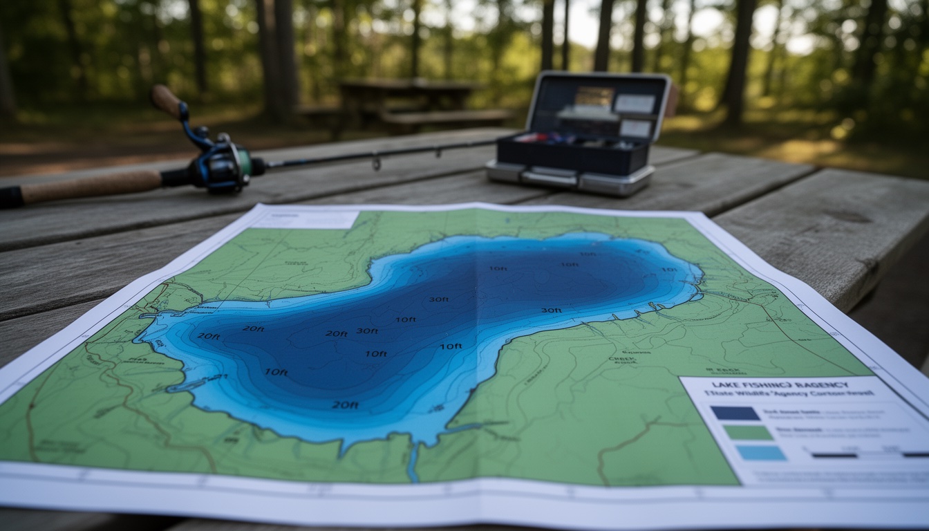
A fishing map is a visual representation of what’s underneath the water. Unlike a regular map that shows roads and buildings, a fishing map shows depth, underwater structure, and features you can’t see from the bank.
At the most basic level, these maps use contour lines — curved lines that connect points of equal depth — to show the shape of the lake or river bottom. A color gradient often accompanies the lines, with lighter colors for shallow water and darker colors for deeper areas. Numbers on the lines tell you the exact depth at that point: a line labeled “15” means 15 feet deep.
You don’t need a $500 fishfinder or professional-grade electronics to benefit from this. Free apps like Fishbrain, state wildlife agency websites, and sites like LakeViewFishMaps all provide lake maps at no cost. For a beginner fishing from the bank, a free map is usually more than enough.
How to Read Contour Lines
Contour lines are the backbone of any fishing map. Once you understand what they’re telling you, you can read any lake in the country.
Each contour line connects points that are the same depth. On most fishing maps, lines are spaced 1 to 2 feet apart — meaning each line represents a one- or two-foot change in depth. The number printed on a line is the depth there.
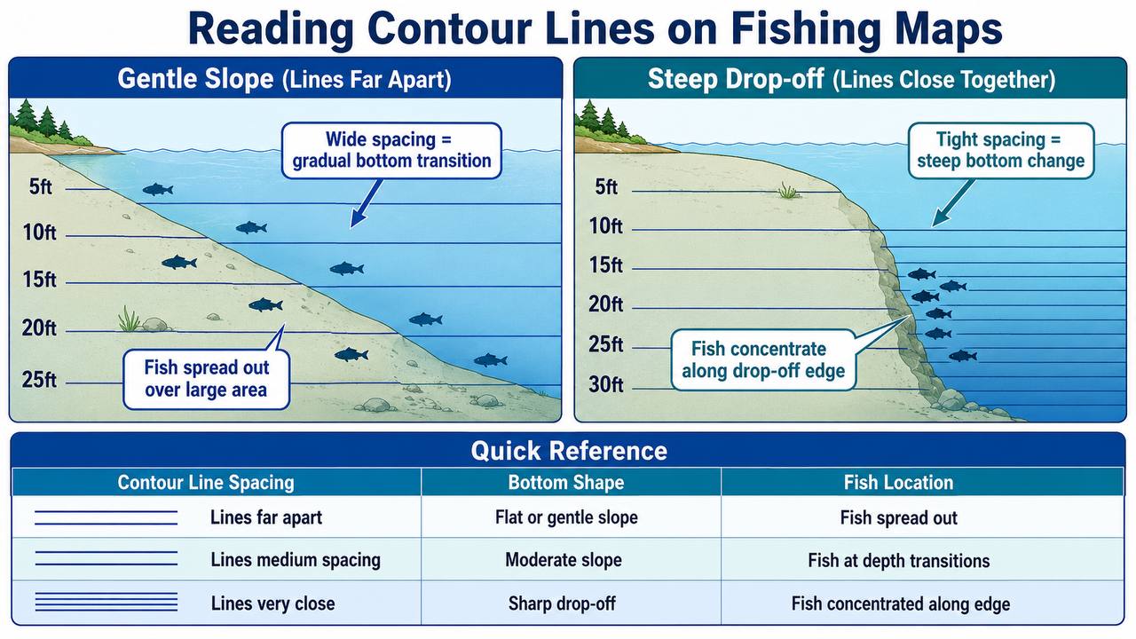
Here’s what matters most: the spacing between contour lines tells you about the shape of the bottom. When contour lines are far apart, the bottom slopes gradually — like walking down a gentle hillside. When contour lines are packed tightly together, the bottom changes depth sharply — like walking off a cliff edge.
Try this: find any free lake map online and trace one contour line with your finger from shore to the middle of the lake. That line represents a path where the depth never changes. The lines inside it are deeper; the lines outside are shallower. If those lines are bunched together on one side of the lake and spread out on the other, you’ve found a drop-off on one side and a gradual slope on the other.
Fish respond to the same features that contour lines reveal. A gradual slope means fish are spread out over a larger area. A sharp drop-off means fish concentrate along that edge.
Seven Water Features Every Beginner Should Know
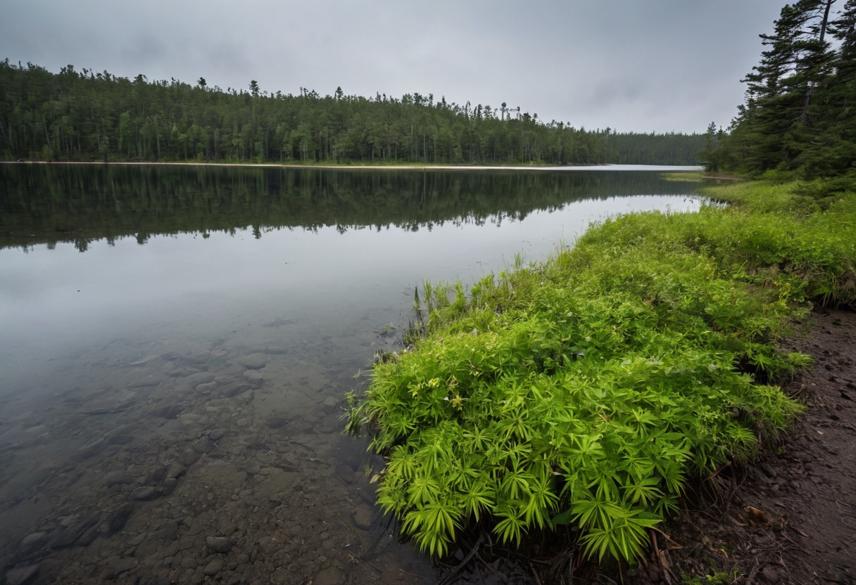
Every lake and river has underwater features that concentrate fish. Learning to identify these seven on a map is the difference between guessing and fishing with intention.
Points
A point is a section of land that extends into the water, like a finger reaching into a lake. Points create depth transitions — shallow water on the shore side, deeper water further out — which makes them natural travel corridors for fish.
On a contour map, points show up as contour lines that pinch inward toward the tip. The more tightly the lines pinch and the sharper the point, the more productive it tends to be. A point with deep water on both sides and a narrow end is typically the best feature on a lake.
Drop-offs
A drop-off is a sudden change from shallow to deep water. If you’ve ever stood on a bank and noticed the water goes from knee-deep to well over your head in just a few feet, you’re standing next to one.
Fish love drop-offs because they can access shallow feeding areas and retreat to deeper cover quickly. On a contour map, a drop-off shows up as contour lines packed tightly together. This is usually the first feature a beginner should look for on any map.
Channels
Channels are underwater pathways that fish use to move around a lake. They typically follow creek beds — the natural routes where creeks and rivers once flowed before the lake was formed. Primary channels are the main creek routes, and secondary channels are smaller tributaries that feed into them.
Think of channels as underwater highways. Fish use them to travel between feeding areas, spawning grounds, and deep-water resting spots. Even from the bank, casting near a channel edge often produces more fish than casting into open water.
Flats
Flats are broad, shallow areas with a gradual slope. On a contour map, you’ll see widely spaced lines in these areas. Flats often contain vegetation and serve as important spawning and feeding zones, especially in spring and fall when water temperatures are moderate.
A flat on its own doesn’t always hold fish — there typically needs to be something on the flat, like a patch of weeds, a rocky area, or a deeper pocket, to concentrate them. But flats bordered by drop-offs or near weed beds are excellent spots to target.
Coves
A cove is an inlet area where the shoreline curves inward, creating a protected pocket of shallow water. Think of a crescent shape on the map. Coves typically receive more sunlight, have good food sources from runoff, and provide plenty of cover.
They’re especially productive for panfish and bass. If you’re fishing with kids, a cove is usually the best spot to start — the shallow, protected water tends to hold fish in a smaller area that’s easier to target.
Weed Beds
Weed beds are areas of aquatic vegetation, sometimes shown on maps with special symbols or color coding. The edge of a weed bed — where the vegetation ends and open water begins — is one of the most productive fishing zones on any lake. Fish hide inside the weeds for cover, feed at the edges where baitfish congregate, and use the shade vegetation provides on bright days.
Casting right along the weed line is a strategy that works year-round. For more detail on fishing vegetation specifically, check out our guide on fishing in weeds and grass for beginners.
Humps
A hump is an underwater rise surrounded by deeper water — essentially an underwater island. On a contour map, humps show up as concentric contour lines in the middle of the lake, similar to a mountain peak on a topographic map.
Fish congregate on the top and sides of humps because they provide elevation in deep water, often with rocky or hard-bottom structure. Even in the middle of winter when fish retreat deep, humps are typically where you’ll find them.
Where Fish Actually Hold (and Why)
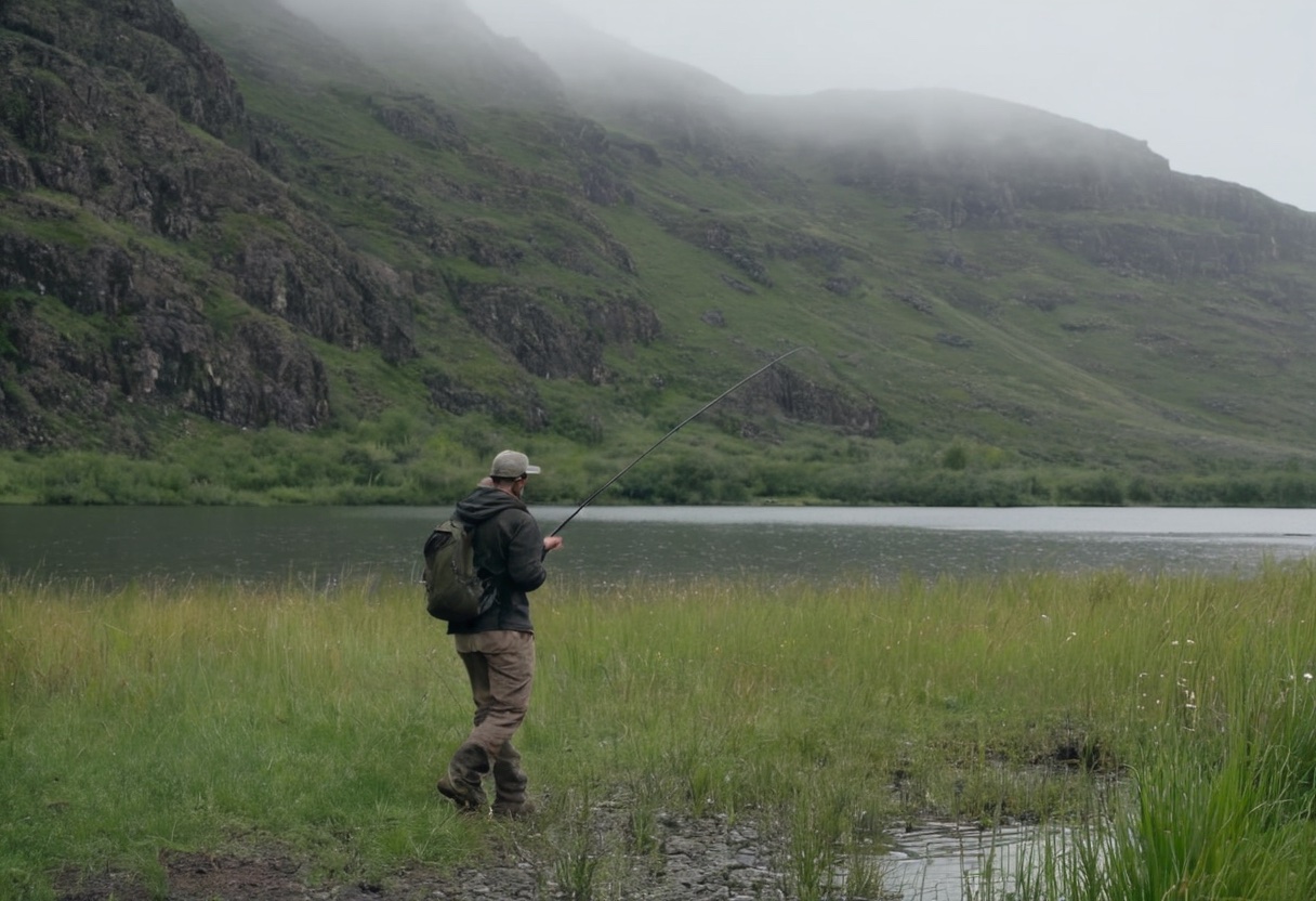
Now that you know what to look for on a map, here’s the simple rule that ties it all together: fish want three things — food, cover, and temperature control. Any underwater feature that provides at least two of those three will typically hold fish.
Structure — rocks, wood, vegetation, depth changes — provides cover. It gives fish a place to hide from predators and ambush prey. Depth transitions let fish move between warmer and cooler water as conditions change. Areas near structure tend to have more insects, baitfish, and other food sources.
Season matters, too. In spring and fall when water temperatures are moderate, fish tend to use shallower features like flats, points, and coves. In summer and winter, they typically retreat to deeper water near drop-offs, channels, and humps. But even in extreme seasons, a point or a weed edge will usually outperform blank open water.
The practical takeaway: cast near structure. If your map shows a point, a drop-off, or a weed bed in front of you, aim for that feature rather than the open water between features. It’s the single biggest improvement a beginner can make in spot selection. For more on choosing productive shoreline spots, see our guide to bank fishing for beginners.
Free Fishing Map Apps and Resources
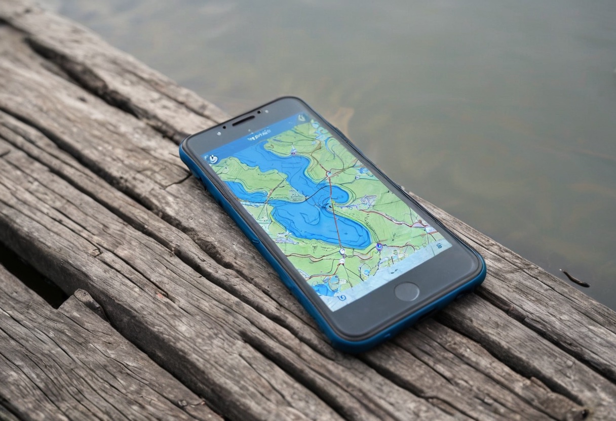
You don’t need expensive gear to start using fishing maps. Here are the best free resources available:
Fishbrain App — Free fishing maps for lakes and rivers around the world, with user-submitted catch data overlaid on the map. Works offline once you download a lake. The interface is beginner-friendly and the free tier covers casual lake fishing more than adequately.
State Wildlife Agency Maps — Many state departments of environmental conservation publish free lake maps with depth contours. For example, NYSDEC and Texas Parks & Wildlife both have detailed lake maps available on their websites. Search for “your state lake maps” and you’ll likely find something useful.
LakeViewFishMaps — Offers detailed lake maps with free preview access. The full maps are paid, but the previews often show enough contour detail to identify key features before you head out.
The strategy is simple: before you leave home, pull up a map of your lake and identify two or three features to target — one point, one drop-off, and one weed bed is a good starting combination. Note their location relative to shore access points, and you’ll arrive at the water with a plan instead of a prayer.
If you’re fishing from a fixed structure like a pier or dock, the same principles apply — identify what features are near your spot and time your fishing when fish are likely to use them. For more on fishing from structures, see our guide to fishing from piers and jetties for beginners.
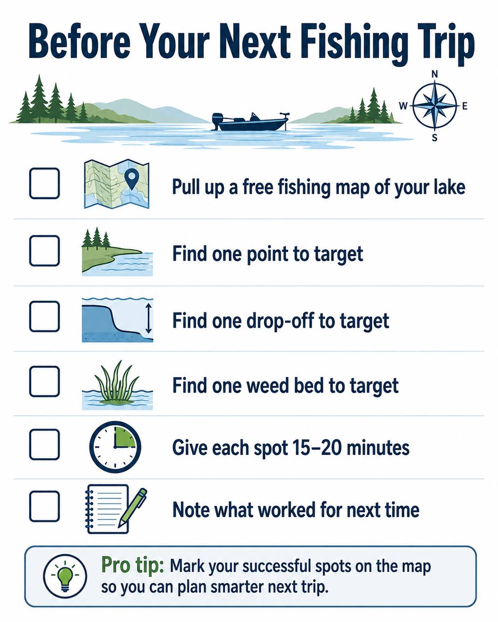
Quick Checklist — Before Your Next Trip
Here’s a simple routine to make a habit:
- Pull up a free map of your lake or river
- Find one point to target
- Find one drop-off or depth change to target
- Find one weed bed or vegetation area to target
- Give each spot 15 to 20 minutes before moving to the next
- Note what worked so you can plan smarter for your next trip
Fish don’t care how fancy your electronics are. They care about food, cover, and the right temperature. A free fishing map and the ability to read a few contour lines will put you ahead of most anglers on the bank.